This year, we are taking a look at the history of the Texas-Mexico border and what events shaped it to where it is today. Join us for this series as we explore the key moments that built the foundation for the relationship between Texas and Mexico.
In August 1847, representatives from Mexico and the United States began discussions of the treaty that would end the Mexican-American War. This treaty, known as the Guadalupe-Hidalgo Treaty, was signed on February 2nd, 1848 and carried major implications for the development and future of the Mexico-United States border. The treaty established that Mexico cede 55% of its northern territories–modern day Arizona, California, New Mexico, and portions of Colorado, Nevada, and Utah– to the United States, as well as relinquish its claims to Texas. In accordance with these agreements, the U.S. agreed to pay Mexico $15 million “in consideration of the extension acquired by the boundaries of the United States” and assume $3.25 million in American debt claims against the country. The treaty significantly altered the boundaries between the U.S. and Mexico, establishing the division between both countries as we now know it and officially confirming the Rio Grande as the boundary between Texas and Mexico.
Article V of the Guadalupe-Hidalgo Treaty provided for the establishment of the Mexican-United States Boundary Commission. The purpose of the commission was to survey, demarcate, and map the newly established border. The joint commission met for the first time in 1849, surveying the portion of the boundary from the Pacific Ocean to the junction of the Gila and Colorado rivers in present-day New Mexico and Arizona, meeting again in late 1850 to survey the area surrounding El Paso. The last notable change to the international boundary occurred in 1854 with the Treaty of La Mesilla. The Treaty of La Mesilla provided for what is known in the U.S. as the Gadsden Purchase: the United States’ acquisition of land that is now the southernmost portions of New Mexico and Arizona.
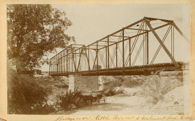
The Mexican-United States Boundary Commission officially finished its surveying work in October 1855, demarcating the new border using a combination of natural markers and over fifty man-made obelisks. These markers degraded over time; consequently, another commission known as the International Boundary Commission convened in 1880 to relocate the markers and photograph the boundary line.

To learn more about the History of the Texas-Mexico border, go here.
This post was written by Katherine Rossmiller ’21. She is a Meadows Scholar studying Public Policy and Music with minors in American Politics and Statistical Science. She is on the Pre-Law track and is also involved with SMU’s Symphony Orchestra and the Belle Tones.
Information cited from the following sources:
Thank you